About Us
We are a drone-based mapping and inspection services provider in Florida, Georgia, and Alabama.
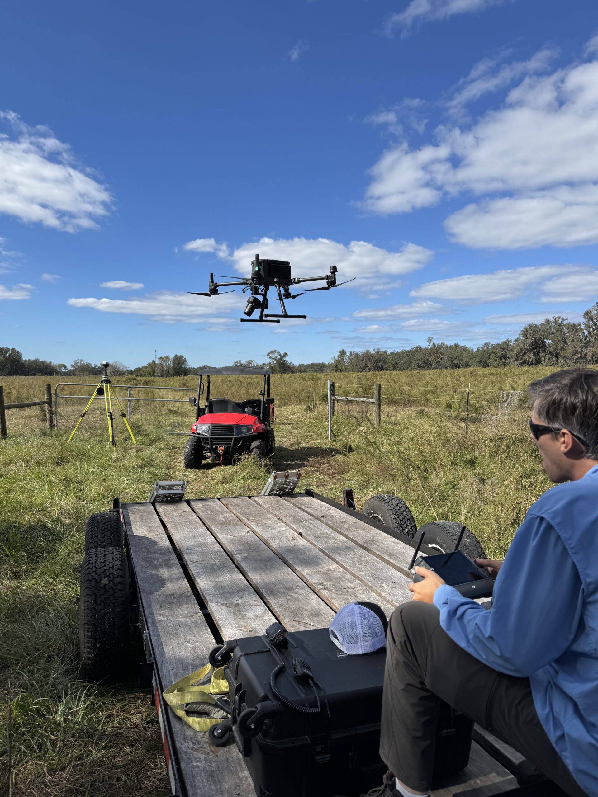
At ACOMS, we pride ourselves on being a full-service drone mapping company that transforms complex data into visual clarity, empowering your projects with precision. Our team harnesses state-of-the-art drone technology to deliver detailed topographic maps and 3D models that bring your ideas to life. Whether you’re developing land, monitoring environmental changes, or managing construction projects, our expert pilots ensure every angle is captured with stunning accuracy and speed. With a commitment to innovation and exceptional service, we help you navigate the skies of possibility, making your decision-making processes smoother and more informed.
Efficiency
Unlock unparalleled efficiency in your surveying projects with drone-based LiDAR technology that revolutionizes data collection and analysis. By capturing millions of data points in a fraction of the time it takes traditional methods, our drone solutions streamline every phase of your workflow, reducing both labor costs and project duration. Experience the advantage of immediate, high-resolution topographic maps and 3D models that empower you to visualize complex landscapes effortlessly. From construction to environmental assessments, the speed and precision of our advanced drones allow you to navigate your projects with agility and confidence, ensuring timely insights that elevate your decision-making process to new heights.
Quality
Integrating PPK and RTK with GNSS technology elevates drone mapping to an entirely new level of precision and reliability, allowing for spatial data that meets the highest industry standards. This cutting-edge approach enables our pilots to achieve centimeter-level accuracy, essential for demanding projects in construction, environmental monitoring, and land development. By leveraging real-time data correction with RTK or post-processed kinematic solutions, PPK, we ensure that every aerial survey captures the finest details, transforming complex landscapes into clear, actionable insights. This unrivaled clarity not only enhances your decision-making processes but also empowers you to achieve your project goals with confidence and efficiency.
Services
ACOMS offers a wide variety of drone-based solutions, each curated to solve the unique challenges your organization faces.
Staff Augmentation
ACOMS can provide an immediate and mature drone program to your existing engineering firm, surveying company, or construction team.
Project Management
We provide the eyes on-site, providing a fully managed online portal for stakeholder access from anywhere online to all deliverables, data queries, and reporting.
End-to-End Service
From mission planning to final CAD outputs, ACOMS has the technology and skills to produce a full-spectrum of deliverables.
Inspection Services
With a variety of payloads, ACOMS can perform regular or as-needed inspections on critical infrastructure, including transmission towers.
Sensitive Area Mapping
By leveraging LiDAR, we can generate topographical data on sensitive areas such as mangroves and protected lands, without disturbing the land.
Custom Home Builders
Use ACOMS to determine accurate project estimates before the loan process of your clients’ dream home. We overlay your design to our data and compute accurate cut/fill analysis.
